snowmobiletrails.com
|
|
|
![]()
Cascade Lodge
Lutsen, Minnesota
![]()
Hungry Jack Lodge
Gunflint Trail
![]()
Lutsen Resort
on Lake Superior

Gunflint Lodge
Gunflint Trail
![]()
Timber Trail Lodge
Ely, Minnesota


|
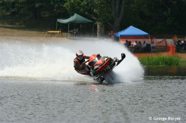
North Shore State Snowmobile Trail |
